
Page 28 - JCAU-7-1
P. 28
Journal of Chinese
Architecture and Urbanism Spatial syntax of temple heritage
local integration degrees, is 0.38. This indicates a low
comprehensibility of the street and alley system in the
Dongga Temple settlement.
4.4. Gesang Temple
As shown in Figures 19 and 20, Gesang Temple is located
in Yulaci township, Xinlong County, Ganzi Tibetan
Autonomous Prefecture, Sichuan Province, China. It is a
Tibetan Buddhist temple of the Sakya sect, with a settlement
area of approximately 5.65 ha, making it relatively small
in scale. Due to its simple spatial structure, the syntactic
parameters of this settlement are limited.
4.4.1. Connection value
The average spatial connectivity of the study area is 1.3333.
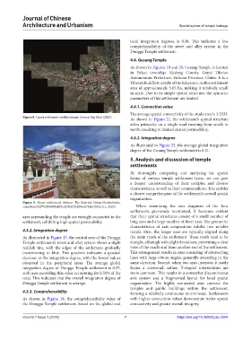
Figure 8. Ganzi settlement satellite image. Source: Big Map (2023) As shown in Figure 21, the settlement’s spatial structure
relies primarily on a single road running from south to
north, resulting in limited spatial permeability.
4.4.2. Integration degree
As illustrated in Figure 22, the average global integration
degree of the Gesang Temple settlement is 0.21.
5. Analysis and discussion of temple
settlements
By thoroughly comparing and analyzing the spatial
forms of various temple settlement types, we can gain
a deeper understanding of their complex and diverse
characteristics, as well as their commonalities. This enables
a clearer comprehension of the settlement’s overall spatial
organization.
Figure 9. Ganzi settlement. Source: The Internet (https://baike.baidu.
com/item/%E7%94%98%E5%AD%9C%E5%AF%BA/5423111; 2023) When examining the axis diagrams of the four
settlements previously mentioned, it becomes evident
axes surrounding the temple are strongly connected to the that their spatial structures consist of a small number of
settlement, exhibiting high spatial permeability. long axes and a large number of short axes. The geometric
characteristics of axis composition exhibit two notable
4.3.2. Integration degree trends. First, the longer axes are typically aligned along
As illustrated in Figure 17, the central area of the Dongga the main roads of the settlement. These roads tend to be
Temple settlement’s street and alley system shows a slight straight, although with slight deviations, preventing a clear
reddish tint, with the edges of the settlement gradually view of the road’s end from another end of the settlement.
transitioning to blue. This gradient indicates a gradual This arrangement results in axes consisting of intersecting
decrease in the integration degree, with the lowest values lines with large obtuse angles, generally extending in the
observed in the peripheral areas. The average global same direction. Second, when two axes intersect, it rarely
integration degree of Dongga Temple settlement is 0.57, forms a crossroad; rather, T-shaped intersections are
with axes exceeding this value accounting for 0.50% of the more common. This results in a somewhat discontinuous
total. This indicates that the overall integration degree of axis system and a fragmented layout for local spatial
Dongga Temple settlement is average. organization. The highly connected axes connect the
temples and public buildings within the settlement,
4.3.3. Comprehensibility forming a relatively continuous tourist route. Settlements
As shown in Figure 18, the comprehensibility value of with higher connection values demonstrate better spatial
the Dongga Temple settlement, based on the global and connectivity and greater overall integrity.
Volume 7 Issue 1 (2025) 7 https://doi.org/10.36922/jcau.2504